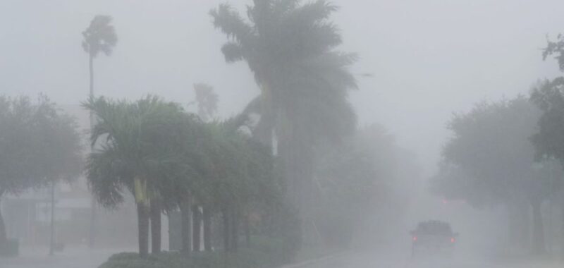
South Florida has seen close to 100 tornado warnings on Wednesday, the National Weather Service’s (NWS) Miami forecast office said, as Hurricane Milton makes landfall in the Sunshine State.
NWS Miami said in a post on the social platform X that “98 Tornado Warnings” were “issued today by NWS Tampa Bay, NWS Melbourne, and NWS Miami” by 6 p.m. Wednesday. The forecast office also said that there had been a “[p]reliminary” minimum of “9 Confirmed Tornadoes today in our NWS Miami area[.]”
The tornadoes came prior to the landfall of Milton, which President Biden said on Tuesday could be the worst storm to hit Florida in over 100 years.
Per a webpage from the NWS’s forecast office in Columbia, S.C., tornadoes are capable of resulting from hurricanes, as well as tropical storms.
“These tornadoes most often occur in thunderstorms embedded in rain bands well away from the center of the hurricane; however, they can also occur near the eyewall,” the NWS forecast office said. “The majority of tornadoes associated with tropical systems occur in the right front quadrant of the storm.”
Multiple social media users on Wednesday posted footage of what appeared to be tornadoes and damage done by them.
“If the driving rain and wind isn’t enough to convince you to remain sheltered in place, there is also the very real threat of tornadoes, even in the outer bands of #Milton,” the NWS said on their main X account Wednesday afternoon. “These tornadoes spin up quickly and move even more so – making staying in a safe place the best possible option.”

